
Last Updated: July 16, 2026
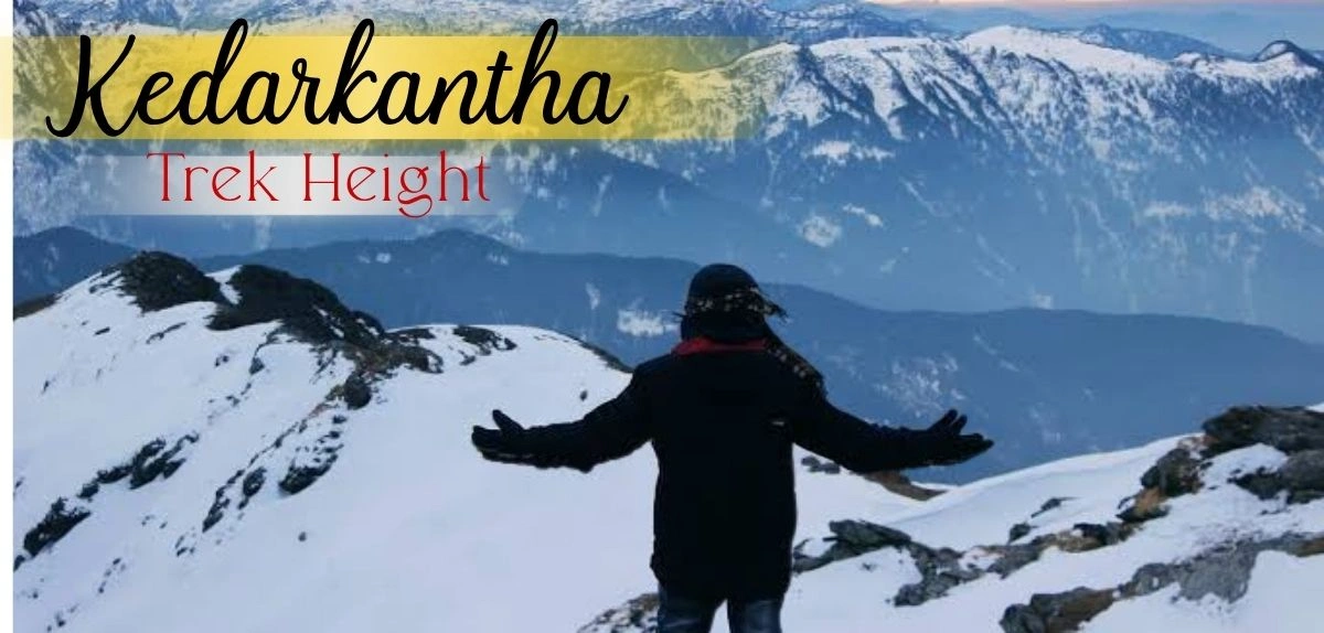
If there’s one question every first-time trekker types into Google before booking, it’s this: what exactly is the Kedarkantha Trek height, and can a beginner actually handle it? The short answer is that the Kedarkantha Trek height tops out at roughly 12,500 feet (about 3,810 metres) above sea level — high enough to feel like a genuine Himalayan summit, but gentle enough in its daily gradients that it remains one of the most beginner-friendly winter treks in India.
Disclaimer: This article provides general information about the Kedarkantha Trek based on typical conditions and experiences. Weather, trail conditions, and local regulations can change. Always consult with professional trek operators, check current weather forecasts, and obtain necessary permits before undertaking the trek. The author and publisher are not responsible for any accidents, injuries, or losses that may occur during trekking activities. Trekking in high altitudes carries inherent risks—assess your fitness level honestly and make informed decisions.
Kedarkantha sits in the Uttarkashi district of Uttarakhand, within the Govind Pashu Vihar National Park and Wildlife Sanctuary, in the Garhwal Himalayas. It’s famously nicknamed the “Queen of Winter Treks” because, while most high-altitude Himalayan trails shut down under heavy snow between December and February, Kedarkantha stays open and even gets more beautiful — its meadows and pine forests buried under thick, powdery snow, its frozen lake turning into a sheet of glass, and its summit delivering one of the most rewarding 360-degree Himalayan panoramas available to a first-time trekker.
In terms of difficulty, Kedarkantha is graded easy to moderate. The trail itself is gradual for most of its length, with only the final summit push becoming genuinely steep and demanding. This is exactly why the Kedarkantha Trek height, despite sounding intimidating on paper, is so achievable — the ascent is spread out sensibly across several days rather than thrown at you all at once.
The landscape is what truly sets this trek apart. Trekkers walk through dense oak, pine, maple, and rhododendron forests, cross wide-open meadows, camp beside the mythologically significant frozen lake of Juda Ka Talab, and finally emerge onto a summit that reveals the Swargarohini, Bandarpoonch, Black Peak, Ranglana, and Gangotri ranges stretched out in every direction. Add in shepherd huts, Himalayan langurs, musk deer, and the occasional Himalayan monal bird darting through the trees, and you get a trek that feels wild and remote despite being one of the most accessible in the country.
Who should do this trek? Kedarkantha is ideal for:
- First-time Himalayan trekkers who want a genuine summit experience without technical climbing
- Fitness enthusiasts looking for a short, satisfying winter escape (5–6 days is enough)
- Solo travellers and small groups, since batches run frequently through the season
- Photographers chasing snow-covered forests, frozen lakes, and sunrise-lit peaks
- Families with older children (most operators set a minimum age of 9 years)
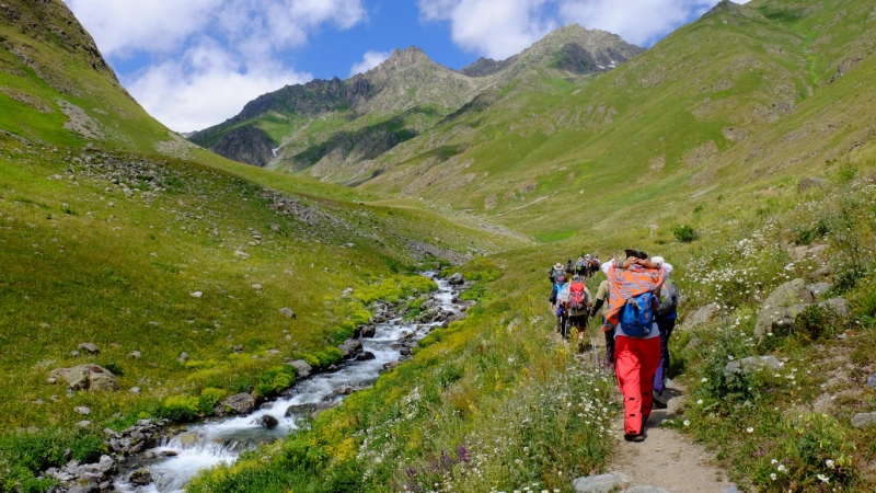
It is not the trek for someone hunting a technical mountaineering challenge — for that, Kedarkantha’s neighbouring trails like Har Ki Dun or Bali Pass may be a better fit. But as an introduction to high-altitude trekking, understanding the Kedarkantha Trek height and what it demands of your body is really the first step to planning a successful trip.
Trek Snapshot
| Detail | Information |
|---|---|
| Duration | 5–6 days (round trip from Dehradun) |
| Trek Distance | Approximately 20 km |
| Kedarkantha Trek Height (Highest Altitude) | 12,500 ft / 3,810 m |
| Base Village | Sankri (6,400 ft) |
| Nearest Town | Purola / Mori (small towns en route) |
| Difficulty | Easy to Moderate |
| Kedarkantha Trek Best Time | December to April (snow); September–November for greener trails |
| Distance from Nearest Major City | About 200 km from Dehradun (8–10 hour drive) |
| Permit Requirement | Mandatory forest entry permit (Govind Wildlife Sanctuary) |
| Guide Requirement | Compulsory unless you hold a BMC certification |
| Mobile Network Availability | Available till Sankri; no network beyond that point |
| Water Availability | Streams and lake water en route; carry a bottle and purification tablets |
| Forest Entry Fee | Roughly ₹150–300 per person (Indian nationals); higher for foreign nationals |
| Jeep Charges (Dehradun–Sankri) | Approximately ₹1,200–1,500 per person one-way (shared) |
Can Beginners Do This Trek?
Yes — Kedarkantha is genuinely one of the best trek options for someone attempting their first Himalayan summit. Here’s the honest picture:
- Daily distances are short. Most days involve 3–6 km of walking, spread across 3–6 hours, which keeps exhaustion manageable even for people who haven’t trekked before.
- The gradient is gradual for most of the route, with the notable exception of the final 2–3 km summit push, which is genuinely steep and can be tough in snow.
- Altitude sickness is a real but manageable risk. Since the Kedarkantha Trek height crosses 8,000 feet by day two or three, some trekkers may experience mild symptoms like headaches or breathlessness. Proper acclimatization, slow pacing, and hydration handle this in the vast majority of cases.
- Fitness benchmark: You should comfortably be able to walk 5–6 km with a loaded backpack, and ideally be able to jog 3–5 km in around 30–35 minutes before you go. If you can’t do that yet, start training 4–6 weeks in advance with brisk walking, stair climbing, and light cardio.
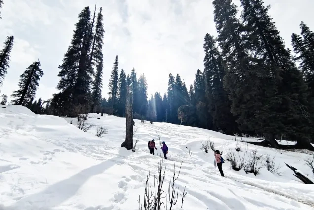
- Winter adds difficulty, not danger — if you’re prepared. Snow depth, colder temperatures, and the need for gear like microspikes and gaiters make the trek feel harder in December–February, but a good operator and proper gear neutralize most of that risk.
In short: beginners absolutely can do this trek, provided they respect the fitness requirement, don’t rush the summit day, and go with an experienced, registered operator.
What to Watch Out For
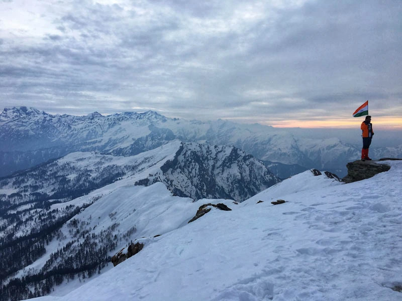
The real charm of Kedarkantha lies in how much scenic variety is packed into just 20 kilometres. Here’s what you should keep your eyes — and camera — open for.
Scenic Views & Mountain Ranges: From the summit, you get a genuine 360-degree Himalayan panorama, including Swargarohini, Bandarpoonch, Black Peak (Kala Nag), Ranglana, and glimpses of the Gangotri and Yamunotri ranges. On especially clear mornings, you can even spot the Kailash range across in Himachal Pradesh.
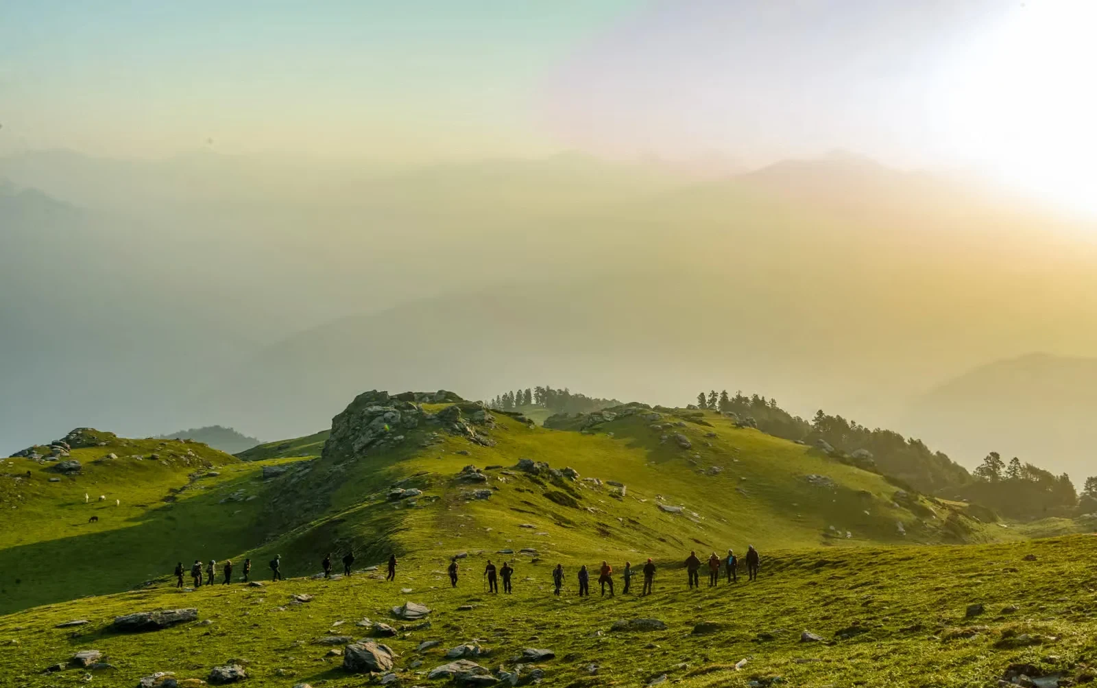
Grasslands & Meadows: The trail opens into wide, rolling meadows around Juda Ka Talab and near the base camp — bright green in autumn, blanketed in snow through winter. These meadows are where many trekkers say they feel most connected to the mountains, away from the density of the forest.
Valleys: As you gain height past the base camp, the Har Ki Dun valley becomes visible in the distance, adding a dramatic sense of scale to the trek.
Rivers & Streams: The drive to Sankri runs alongside the Tons and Yamuna rivers, and several small mountain streams cross the trekking trail itself, offering both scenic value and natural water sources.
Frozen Lake: Juda Ka Talab is arguably the most photographed spot on the entire route — a high-altitude lake wrapped in local Shiva folklore, which freezes into a natural ice rink during peak winter.
Forests: Thick stands of oak, pine, maple, and rhododendron dominate the lower and middle sections of the trek, with sunlight filtering through snow-laden branches in a way that photographers rarely tire of.
Wildlife, Flora & Fauna: Since the trek runs through the Govind Wildlife Sanctuary, keep an eye out for Himalayan langurs, musk deer, red foxes, Himalayan monals, woodpeckers, and black eagles.
Photography Spots: The best frames come from Juda Ka Talab at sunrise, the meadow just before Kedarkantha base camp, and obviously the summit itself during golden hour.
Sunrise/Sunset Points: The Kedarkantha summit sunrise is the single most talked-about moment of the entire trek — trekkers start the final climb at 3–4 AM in the dark, headlamps bobbing along the snow, purely to be standing at the top when the first light hits the peaks.
Unique Experiences: Night trekking under a headlamp trail of fellow hikers, camping beside a frozen lake, and star-gazing from a wide-open base camp with zero light pollution are experiences unique to Kedarkantha’s winter season.
Suggested Itinerary
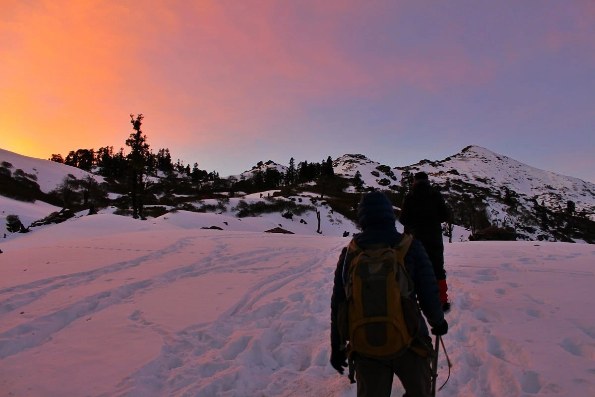
Here’s a practical day-by-day itinerary starting from Dehradun, based on how most established trek operators structure the route.
Day 0: Arrival in Dehradun Arrive by evening or overnight train/flight. Rest at a hotel or guesthouse near the pickup point in preparation for an early departure.
Day 1: Dehradun to Sankri Departure around 6:00–7:00 AM from a central pickup point. The drive covers roughly 190–200 km via Mussoorie, Kempty Falls, Purola, and Mori, taking 8–10 hours depending on road conditions. You’ll arrive at Sankri (6,400 ft) by evening, check into a guesthouse or homestay, and have an early dinner and briefing before an overnight stay.
Day 2: Sankri to Juda Ka Talab After breakfast, the actual trek begins. This is a 4–5 km stretch through pine forest, taking roughly 4–5 hours and gaining altitude to around 9,100 ft. Arrive at the lakeside campsite by afternoon, set up camp, and enjoy an evening around the campfire.
Day 3: Juda Ka Talab to Kedarkantha Base Camp A shorter day of about 3–4 km, taking 3–4 hours, gaining altitude to roughly 11,250 ft. This day is largely about acclimatization — a lighter trekking day with more rest built in before the summit push.
Day 4: Summit Day — Base Camp to Kedarkantha Peak and back to Hargaon/Juda Ka Talab The big day. Trekkers wake around 3:00–4:00 AM, trek roughly 2–3 km up a steep final stretch (gaining around 1,250 ft) to reach the summit by sunrise — typically between 6:00 and 7:00 AM. After 30–45 minutes at the top soaking in the views and photography, the group descends back to base camp for a late breakfast, then continues descending further to Hargaon or back to Juda Ka Talab campsite, covering a combined distance of roughly 8–9 km over 8–10 hours total.
Day 5: Descent to Sankri A final descent of roughly 6 km, taking 3–4 hours, back down to Sankri village. Afternoon arrival allows time to clean up, relax, and enjoy a hot meal before the journey back.
Day 6: Sankri to Dehradun An early departure (around 6:30–7:00 AM) for the 8–10 hour drive back to Dehradun, with drop-off by early evening.
(Some operators compress this into a 5-day plan by combining descent days — always confirm the exact itinerary with your chosen operator.)
Detailed Trail Information
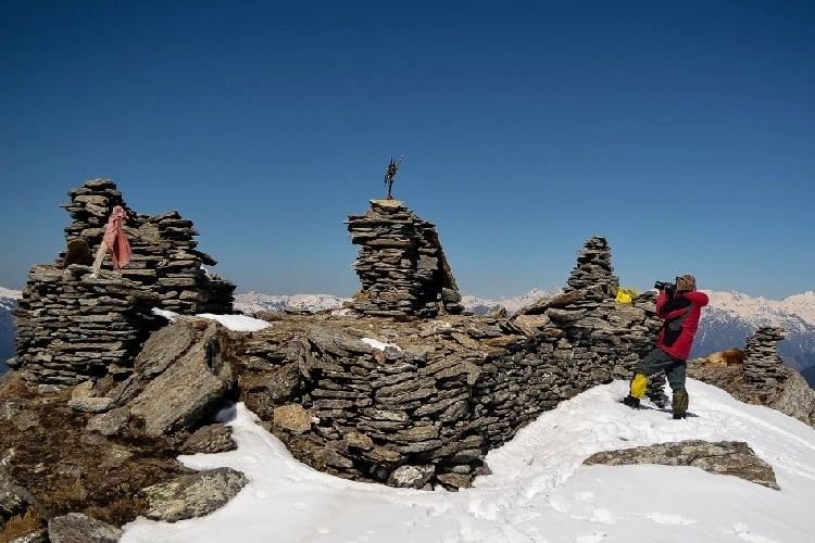
Section 1: Sankri to Juda Ka Talab
- Trek Distance: 4–5 km
- Estimated Time: 4–5 hours
- Difficulty: Easy
- Terrain: Well-defined forest trail with a gradual, steady incline
- Landmarks: Dense pine forest, occasional shepherd huts, first glimpses of the Kedarkantha peak in the distance
- Water Sources: Small streams crossing the trail; refill before reaching camp
- Things to Watch Out For: Icy patches near the campsite in peak winter; slippery roots on the forest floor
- Walking Experience: This is a gentle warm-up day. The trail winds gradually upward through fragrant pine and oak cover, and most trekkers find it comfortable even without prior high-altitude experience.
- Potential Challenges: Adjusting to a loaded backpack and cold temperatures for the first time; minor breathlessness for those unaccustomed to elevation
- Photography Opportunities: Sunlight filtering through the forest canopy; first views of Juda Ka Talab as you approach camp
Section 2: Juda Ka Talab to Kedarkantha Base Camp
- Trek Distance: 3–4 km
- Estimated Time: 3–4 hours
- Difficulty: Easy to Moderate
- Terrain: Continued forest cover giving way to open meadows near the base camp
- Landmarks: Shepherd huts, the meadow just below base camp, first unobstructed views of surrounding peaks
- Water Sources: Limited; carry sufficient water from the lake campsite
- Things to Watch Out For: Colder temperatures as tree cover thins; wind exposure in the open meadow sections
- Walking Experience: The trail climbs more noticeably here, and the forest gradually opens into wide meadows, giving trekkers their first real sense of scale and height.
- Potential Challenges: This is typically when mild altitude symptoms — headache, slight fatigue — start showing up in a small number of trekkers; slow, steady pacing matters
- Photography Opportunities: Wide-angle meadow shots with mountain backdrops; golden-hour light at the base camp
Section 3: Kedarkantha Base Camp to Summit
- Trek Distance: 2–3 km (one way)
- Estimated Time: 3–4 hours (predawn ascent)
- Difficulty: Moderate to Challenging
- Terrain: Steep, often snow-covered final ascent with a real elevation gain of around 1,250 ft in a short distance
- Landmarks: The Trishul marker at the summit; panoramic ridgeline views appearing as you near the top
- Water Sources: None on this stretch — carry enough water and a thermos of warm liquid
- Things to Watch Out For: Loose scree beneath snow, strong wind chill near the top, headlamp navigation in darkness
- Walking Experience: This is the trek’s defining stretch — a demanding, lung-testing climb in freezing predawn temperatures, made bearable by the anticipation of sunrise and the camaraderie of a headlamp-lit trail of fellow trekkers.
- Potential Challenges: This section genuinely tests fitness and mental resilience, especially in deep snow; slower trekkers may need extra time and encouragement from the guide
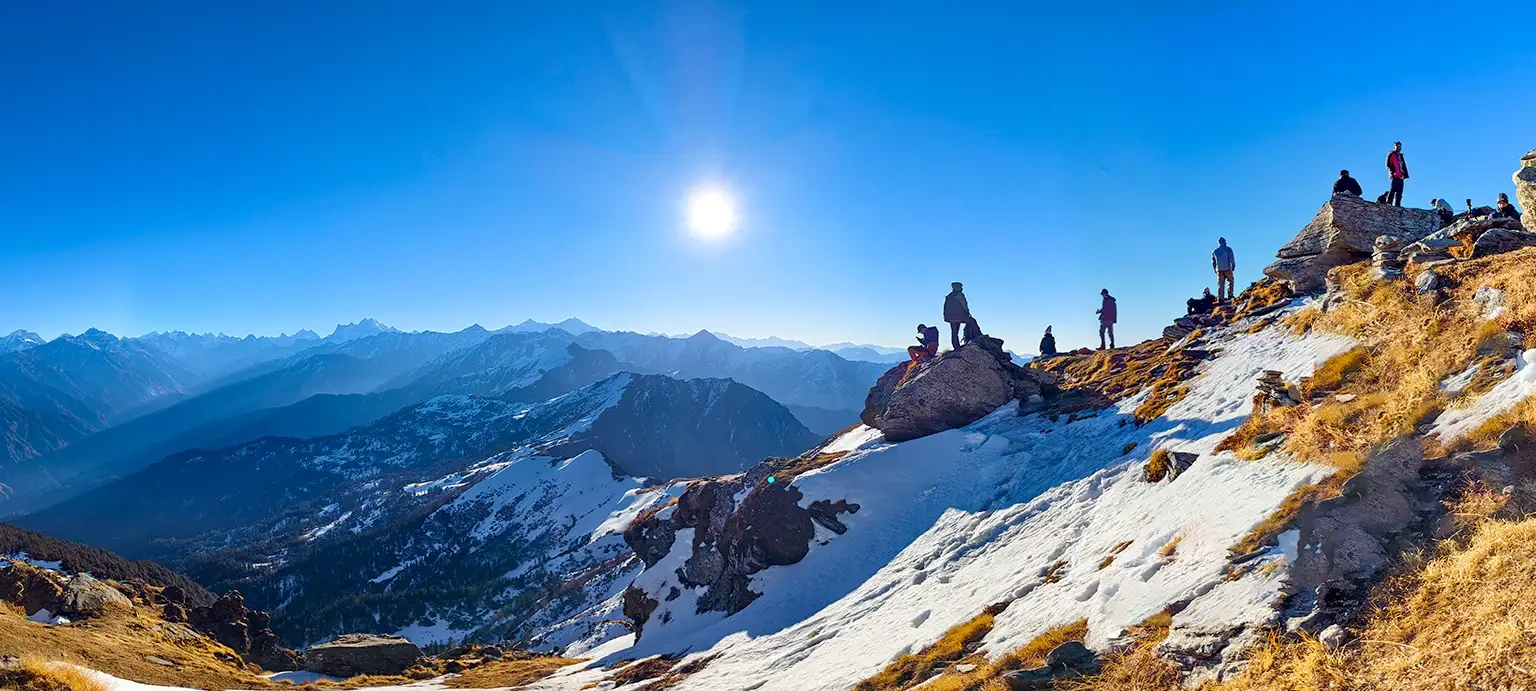
- Photography Opportunities: The undisputed highlight — 360-degree sunrise views over Swargarohini, Bandarpoonch, and the Gangotri and Yamunotri ranges
Summit Experience
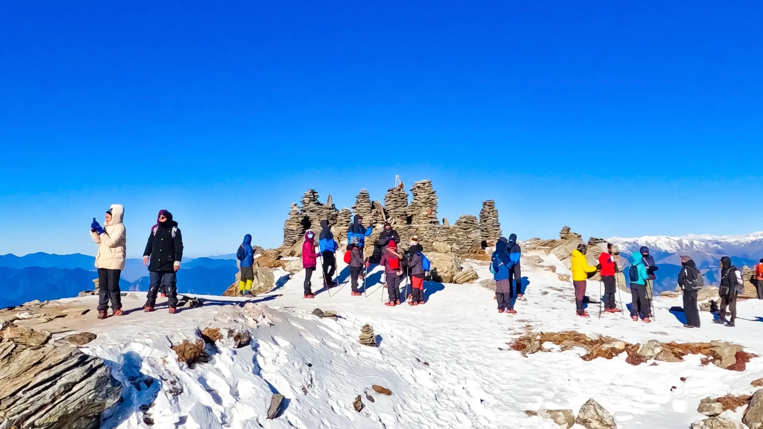
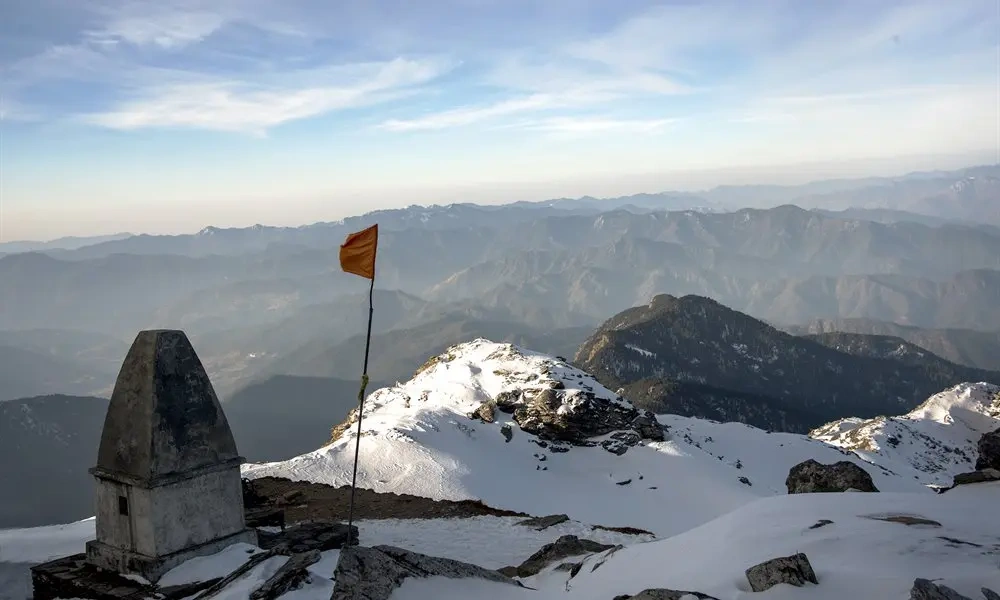
Standing on the Kedarkantha summit at 12,500 feet, just as the first light breaks over the Himalayas, is the moment every trekker on this route is chasing. The views stretch across an enormous arc — Swargarohini’s jagged spires, the broad shoulders of Bandarpoonch, the dark silhouette of Black Peak, and on the clearest days, even glimpses toward the Kailash range in Himachal Pradesh.
The weather at the top can shift quickly. Mornings are usually crisp and clear right at sunrise, but wind picks up fast, and cloud cover can roll in within the hour, especially later in the morning. This is part of why trek leaders push groups to summit early — both for the light and for the calmer weather window.
The atmosphere at the summit is a mix of quiet awe and shared exhilaration. After the exhausting predawn climb, most groups spend around 30–45 minutes at the top — enough time to catch your breath, take photographs, and simply absorb the view — before the cold and the need to keep the group moving push everyone back down. For photography, the golden 15–20 minutes right after sunrise offer the richest light on the snow and peaks, so it’s worth having your camera or phone ready and accessible rather than buried in your backpack.
Best Season
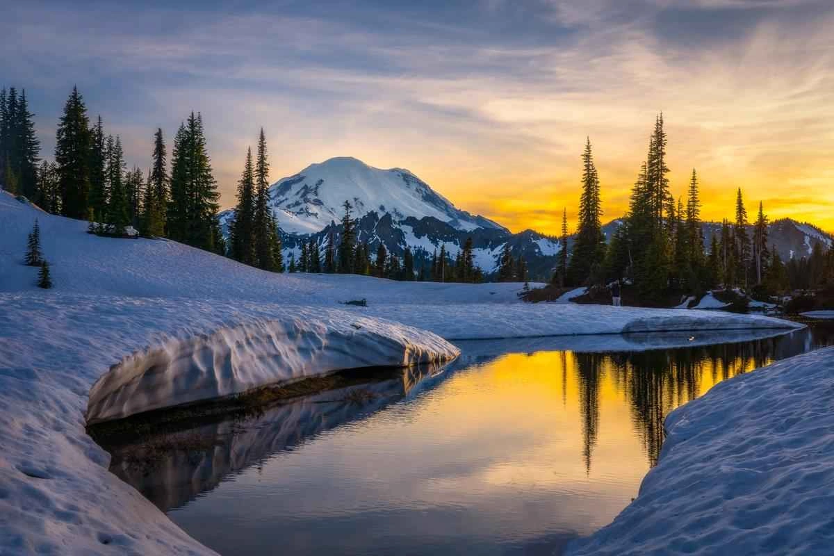
Summer (May–June)
- Weather: Mild and pleasant, daytime temperatures around 15–20°C
- Visibility: Generally good, though occasional haze
- Difficulty: Easier underfoot with no snow to contend with
- Greenery: Lush green meadows and blooming rhododendrons
- Crowd: Moderate
- Pros & Cons: Comfortable weather and clear trails, but you miss the signature snow experience that makes Kedarkantha famous
Monsoon (July–August)
- Weather: Heavy, unpredictable rainfall
- Visibility: Poor, with frequent cloud cover
- Difficulty: Increased risk from slippery trails and landslide-prone roads
- Greenery: Extremely lush, but muddy underfoot
- Crowd: Very low — most operators avoid running batches
- Pros & Cons: Not recommended; this is generally considered the least suitable season for the Kedarkantha trek
Post-Monsoon / Autumn (September–November)
- Weather: Crisp, clear, and cool
- Visibility: Among the best of the year, with sharp mountain views
- Difficulty: Easy underfoot conditions
- Greenery: Transitioning to golden-brown hues
- Crowd: Moderate, picking up toward late November
- Pros & Cons: Excellent visibility and comfortable trekking, though without the snow that draws most visitors
Winter (December–April)
- Weather: Cold, with daytime temperatures around 8–15°C and nighttime lows frequently dropping below -5°C to -8°C in peak winter
- Visibility: Very good on clear days, with dramatic snow-covered landscapes
- Difficulty: Highest of the year, due to snow depth, cold, and the steep summit push becoming more technical
- Greenery: None — this is the pure snow season
- Crowd: Highest of the year, especially around Christmas and New Year
- Pros & Cons: This is peak Kedarkantha — the “Queen of Winter Treks” experience with frozen lakes and snow-draped forests — but it demands proper cold-weather gear and a slightly higher fitness reserve
Kedarkantha Trek Best Time overall: For the classic snow experience, December to February is unmatched. For a slightly milder version with less crowding, March–April offers residual snow with more comfortable daytime temperatures.
How to Reach
By Car
Self-driven or hired cars can reach Sankri via Dehradun, following the Mussoorie–Naugaon–Purola–Mori–Netwar route. The roads are mostly in good condition until Mori, after which the final stretch to Sankri involves narrower mountain roads. Total driving time from Dehradun is 8–10 hours. Parking is available in Sankri, generally arranged through your guesthouse or homestay.
By Bike
Riding to Sankri is a popular option among adventure travellers, following the same route as cars. Expect cold temperatures on the final stretch in winter, and carry appropriate riding gear. Fuel stations are limited beyond Purola, so top up before continuing.
By Bus
Regular buses run from Dehradun’s Mussoorie Bus Stand toward Purola and Mori, typically departing between 5:00 and 8:00 AM, with connecting shared jeeps onward to Sankri. Bus tickets are budget-friendly, generally in the range of a few hundred rupees per person.
By Train
Dehradun Railway Station is the nearest major railhead, well-connected to Delhi and other major cities. From here, onward travel to Sankri is by shared taxi, private cab, or bus-plus-jeep combination.
By Flight
Jolly Grant Airport, Dehradun, is the nearest airport, with regular domestic connections to major Indian cities. From the airport, it’s roughly a 30–40 minute transfer into central Dehradun before the longer onward journey to Sankri.
Approximate Costs: Shared taxis from Dehradun to Sankri typically run around ₹1,200–1,500 per person one-way; private cab hire for the full route can range from ₹6,000–9,000 depending on vehicle type and season.
Permits & Fees
- Permit Process: Since the trail passes through the Govind Wildlife Sanctuary, a forest entry permit is mandatory for every trekker. Most registered trek operators arrange this on your behalf as part of the package; solo trekkers need to visit the Sankri Forest Office in person.
- Entry Fee: Roughly ₹150–300 per person for Indian nationals; foreign nationals typically pay a higher fee, sometimes several times more.
- Camping Charges: An additional ₹50–200 per tent per night is commonly levied at campsites.
- Guide Charges: Trekking without a registered guide is not permitted by forest department rules, unless you personally hold a BMC (Basic Mountaineering Course) certification. Guide fees are usually bundled into standard trek packages.
- Forest Rules: Plastic is generally restricted or discouraged, campfires are only permitted in designated spots, and littering is strictly prohibited.
- Opening Timings: The forest checkpoint at Sankri typically operates during daylight hours; groups are expected to register before proceeding.
- Daily Limits: During peak season (Christmas–New Year), permits and campsite slots can fill up quickly, so early booking is strongly advised.
- Required ID Proofs: Carry an original and photocopy of a government ID (Aadhaar, PAN, or Passport), along with any medical fitness certificate if required by your operator.
Things to Carry
Essential
- Trekking shoes with good ankle support and grip
- Backpack (50–60 litres) with a rain cover
- Trekking poles
- Headlamp with spare batteries
- Reusable water bottle (1–2 litres)
- Sunglasses (UV-protected, for snow glare)
- Personal ID proof and permit copies
Clothing
- Thermal base layers (upper and lower)
- Fleece jackets and a down/padded jacket
- Waterproof and windproof outer shell jacket
- Trekking pants (quick-dry, not denim)
- Woolen cap, neck gaiter/balaclava
- Gloves (inner woolen pair plus outer waterproof pair)
- Woolen socks (multiple pairs)
Rain Gear
- Poncho or rain jacket
- Waterproof backpack cover
- Gaiters (highly recommended in snow)
Food
- Energy bars, dry fruits, chocolates, glucose sachets
- Electrolyte/ORS sachets
Water
- Insulated water bottle or thermos (helps prevent freezing in winter)
- Water purification tablets, as backup
Emergency Kit
- Personal first-aid kit (basic medicines, blister plasters, altitude sickness medication if prescribed)
- Sunscreen (SPF 40+) and lip balm
- Personal medication, if any, clearly labeled
Photography Gear
- Camera or smartphone with a spare battery/power bank
- Microfiber cloth for lens cleaning in snowy conditions
Optional Items
- Trekking gaiters or microspikes (often provided by operators in peak winter)
- Portable power bank
- A lightweight book or journal for the evenings at camp
Safety Tips
- Weather Precautions: Check forecasts before departure, but always be prepared for sudden shifts — carry layers even on clear-looking days.
- Slippery Sections: Snow and ice near campsites and the summit stretch can be treacherous; move slowly and use trekking poles for balance.
- Leeches: Not typically a concern on Kedarkantha given its higher, colder terrain, though monsoon-season lower stretches could occasionally have them — another reason monsoon trekking is discouraged.
- Wild Animals: Encounters are rare, but as the trail runs through a wildlife sanctuary, avoid leaving food unattended at campsites and keep noise levels reasonable near dusk.
- River Crossings: Stream crossings on this route are generally minor; still, cross carefully on wet or icy stones.
- Heat: Less of a concern given the altitude and season, but daytime sun at high altitude can still cause sunburn quickly — sunscreen is essential.
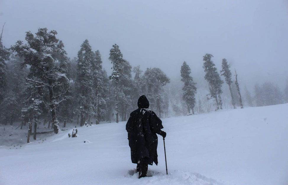
- Cold: The single biggest risk factor on this trek. Night temperatures can fall well below freezing in peak winter; proper layering and a sub-zero-rated sleeping bag are non-negotiable.
- Emergency Contacts: Reputable operators carry basic first-aid kits, emergency oxygen, and maintain contact with the Sankri Forest Office and local guides for evacuation support if needed.
- Responsible Trekking Practices: Stick to marked trails, avoid disturbing wildlife, and respect local village customs in Sankri and Kotgaon.
- Leave No Trace Principles: Carry all non-biodegradable waste back down with you, avoid single-use plastics, and never leave litter at campsites or the summit.
Nearby Attractions
- Har Ki Dun Valley: A stunning valley trek starting from the same base region, roughly a few hours’ drive/trek combination from Sankri — ideal for trekkers wanting a second Himalayan trail nearby.
- Osla Village: A traditional Garhwali village near the Har Ki Dun route, known for its wooden architecture and local culture, roughly 12–15 km from Sankri.
- Someshwar Temple, Kotgaon: A small but scenic temple in the charming village of Kotgaon, close to the Kedarkantha trailhead.
- Naitwar and Mori: Small towns along the Dehradun–Sankri road, useful stopover points with basic dining options, roughly 20–25 km before Sankri.
- Kempty Falls, Mussoorie: A popular waterfall stop en route from Dehradun, roughly 25 km from Mussoorie town, worth a short halt on your drive out or back.
- Tons River Viewpoints: Several scenic spots along the Mori–Sankri stretch where the Tons River runs alongside the road, great for a short break and photographs.
- Stay Options: Sankri offers guesthouses, homestays, and basic hotels; most Kedarkantha operators tie up with specific properties for pre- and post-trek stays.
- Restaurants: Dining options are simple and local in Sankri and Mori — expect home-style Garhwali and North Indian vegetarian meals rather than restaurant chains.
Conclusion
The Kedarkantha Trek height of 12,500 feet is really the heart of everything that makes this trek special. It’s tall enough to deliver a genuine Himalayan summit — sweeping views of Swargarohini, Bandarpoonch, and the Gangotri range, a proper sunrise push under headlamps, and the kind of cold, thin air that reminds you you’ve actually climbed a mountain. Yet it’s approachable enough, with its gradual daily distances and well-marked trail, that a fit beginner with no prior high-altitude experience can stand at that summit and genuinely earn the moment.
That balance is exactly why Kedarkantha has earned its reputation as the “Queen of Winter Treks” and remains one of the most recommended first Himalayan treks in India. Whether you’re drawn by the frozen mirror of Juda Ka Talab, the snow-draped pine forests, or simply the challenge of understanding what the Kedarkantha Trek height actually feels like underfoot, this trek rewards preparation without demanding technical mountaineering skills.
Plan early, train a little, pack smart, and the reward at 12,500 feet will more than make up for the effort it takes to get there.
Read More :
Frequently Asked Questions
1. What is the actual Kedarkantha Trek height?
The Kedarkantha Trek height reaches approximately 12,500 feet (3,810 metres) at its summit point.
2. Is a permit required for the Kedarkantha trek?
Yes, a forest entry permit is mandatory since the route passes through the Govind Wildlife Sanctuary.
3. Can beginners do the Kedarkantha trek?
Yes, it’s widely considered one of the best beginner-friendly Himalayan treks, provided basic fitness requirements are met.
4. Is camping allowed on the Kedarkantha trek?
Yes, camping at designated sites like Juda Ka Talab and Kedarkantha Base Camp is a core part of the standard itinerary.
5. Is mobile network available on the Kedarkantha trek?
Network typically stops working beyond Sankri village, so expect no signal for most of the trek.
6. What is the Kedarkantha Trek best time to visit?
December to April is best for the classic snow experience; September to November suits those who prefer greener trails and milder weather.
7. Can you do the Kedarkantha trek solo?
Technically yes, but it’s not recommended, especially in winter — a registered guide is mandatory unless you hold a BMC certification.
8. Is a guide mandatory for the Kedarkantha trek?
Yes, forest department regulations require a registered guide unless you’re independently certified.
9. Is parking available at the base village?
Yes, parking is generally available in Sankri, typically arranged through your homestay or guesthouse.
10. Is water available throughout the Kedarkantha trek?
Yes, streams and the lake provide water sources at various points, though it’s wise to carry a filled bottle between refill points.
